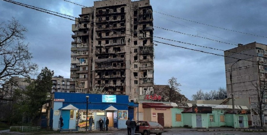
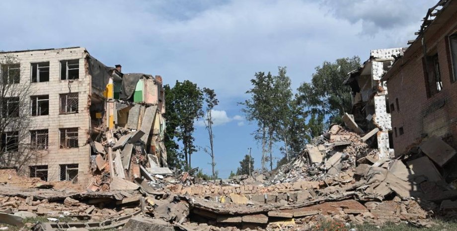
Based on the history of Mariupol destruction, the pictures were taken by the companions of Airbus and Maxar Technologies on different days from mid -March 2022. Thanks to them, analysts have discovered new mass graves in the occupied city. Now every user can see how Mariupol became after Russian shelling and occupation: destroyed houses, dwellings, smoke fires, wasteland at the site of the Drama Theater. For comparison, UNITED24 representatives showed satellite images of the city, taken in 2021.
"All these personnel are evidence of Russian crimes. The exact extent of destruction and loss can only be evaluated after the city's de -occupation," the authors of the roller said. Volodymyr Zelenskyy appreciated Mariupol's new pictures and recalled that almost 500,000 people lived in it. The President also noted that today there are practically no whole buildings left in the city. "The terrorist state has done everything to kill this city.
More than 90% of Mariupol is destroyed," Volodymyr Zelenskyy emphasized. Earlier they wrote that according to Mariupol City Council, Russian troops destroyed more than 1300 homes and killed more than 22,000 civilians. Some buildings are still visible in Google's pictures, although the Russians have long been demolished, may soon be the company to download fresher frames.





All rights reserved IN-Ukraine.info - 2022