The map authors emphasized that the routes of hostile goals were applied approximately, without detail, and the beginning and end of the "path" was blurred for safety issues. It is known that the Iskander-M ballistic missiles/KN-23 of the Russian Armed Forces were released in the Kyiv region from the Voronezh region. The enemy-driven X-59 aviation missiles hit the airspace over the Azov Sea, and shock drones from Cape Chauda in Crimea and Kursk.
On the map, the authors emphasized, not all hostile goals can be displayed. In addition, they emphasized on the channel, the specified graphic image does not give the enemy an idea of the location of the defense forces. This infographic was created solely to demonstrate threats from massive enemy attacks and is not part of the official communication of the defense forces, the authors said.
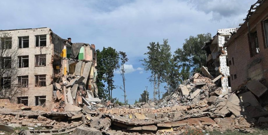
Kyiv Mayor Vitaliy Klitschko reported that a rocket was damaged as a result of the fragments of the rocket's debris in the Desnyanskiy district. According to him, there was no fire. There were also no injured and damaged buildings. At the same time, according to the Kyiv24 TV channel, an office building was injured in the Kyiv region, which houses the Center for Correction and Development of the Child.


All rights reserved IN-Ukraine.info - 2022