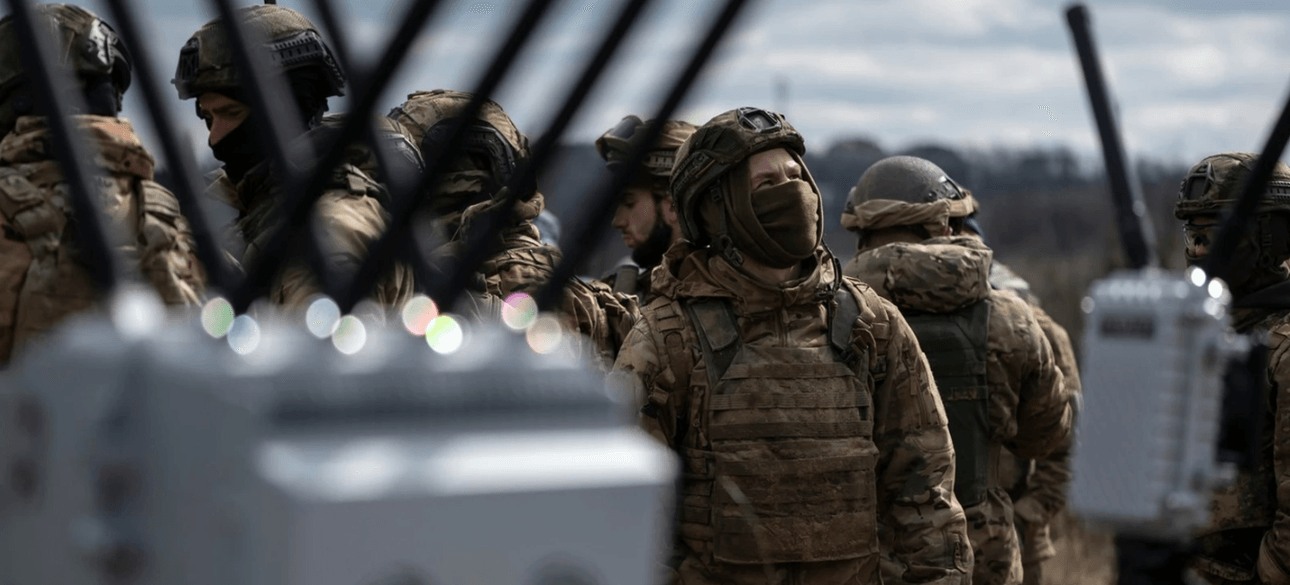
The UAV simply does not understand where he is and where he is flying. Therefore, satellite navigation in the territory of the country is depressed by both we and the enemy. But once there is a suppression of satellite signals, that is, countermeasures. To combat oppression, special "CRPA antennas" is placed on shock UAVs. Such antennas are able to distinguish the satellite signal from the signal of the EW and cut obstacles from the EW.
Conditionally, the more in the antenna elements, the more sources of the HR can overcome. At the beginning of the war, they were on Shahaneda 4, then there were 8, then 12, and now 16. Also, to enhance the counteraction of the antenna, the antenna can work at different satellite ranges and process different satellite groups. In addition, absolutely all UAVs are "smart" and have inertial systems.
When the satellites disappear, the UAV continues to fly, holding the last height and the last flight direction. The height is kept behind the barometer, and the direction of the compass. That is, "Shahaned" flies and waits when a signal from the satellites appears again. The signal appeared - Shahaned made a course recalculation. This has been discussed in military agencies for years. As best of and how right it is to suppress UAV navigation systems.
And of course, our experience in these matters is a very confidential topic, because the enemy has the same problems with our "dipstracesses". But it is not necessary to build illusions, more scientists, researchers and enterprises working on the topic of satellite navigation and counteracting it. There can be two options for suppressing in CRPA description. You can always find these characteristics. How much the antenna resists obstacles.
For example, suppressing several obstacles by 50 dB or only one by 80 dB. It would seem a good way, but there is also a drawback. And what to do when Shahledi fly from all sides at once and many, how to suppress them from all sides? The first method is more strategic and long -term. It is suitable for protecting large territories of the country. The second way is faster and is suitable for protecting critical infrastructure.
I will not fundamentally name the tools of HR, which belong to the first and second variant, so as not to advertise or lobby any manufacturers. And the most important thing I want to say. Sooner or later, the enemy will close the rob in 1 and 2 variants of its entire territory (some areas are already closed tightly). And the flight of "dipstracies" by satellite navigation will be impossible. Therefore, it is necessary to develop and introduce navigation based on other principles.


 English
 Українська
 USA
USA Français
 Deutsch
 Italiano
 Polski
 Čeština
 Español
 Slovensku