 By Eliza Popova
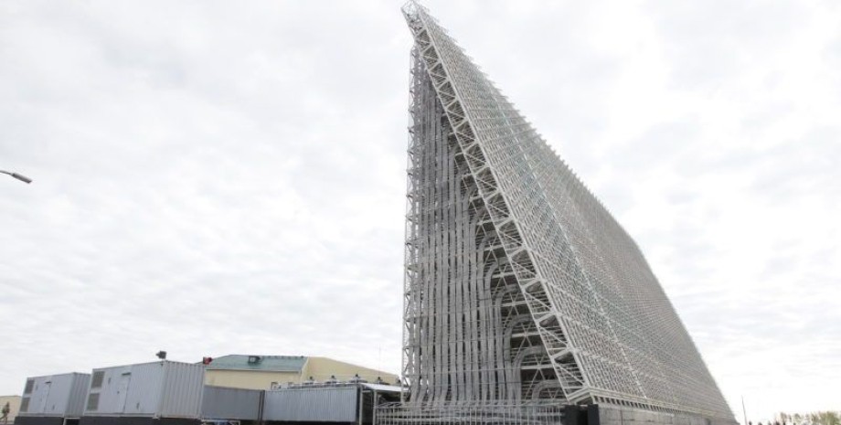
These satellite photos "Schemes" were published in their telegram channel. "The Planet Labs satellite recorded the consequences of this attack. In the picture for May 27, it is seen that dark spots appeared in the radar, which was not previously not - it is likely that traces of fire as a result of a UAV hit," the photo reads. Journalists have specified that the resolution of the photo does not allow to evaluate the degree of possible damage to the Russian station.
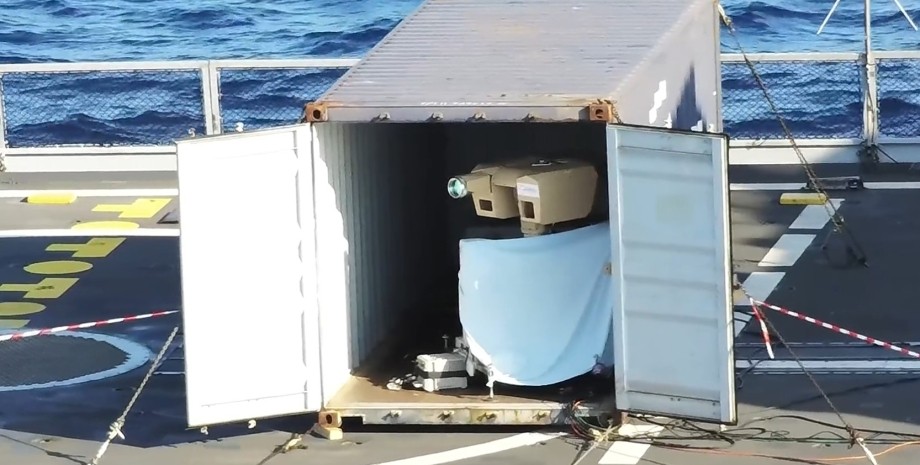
"This radar station is more than 1800 km from the border with Ukraine," Schemes said. Investigators also emphasized that according to open sources, Voronezh-M is part of the Russian stationary pre-horizontal radar. They are designed to detect space and aerodynamic objects, such as ballistic and winged missiles. Such a radar has a range of target detection up to 6 thousand km.


 English
 Українська
 USA
USA Français
 Deutsch
 Italiano
 Polski
 Čeština
 Español
 Slovensku