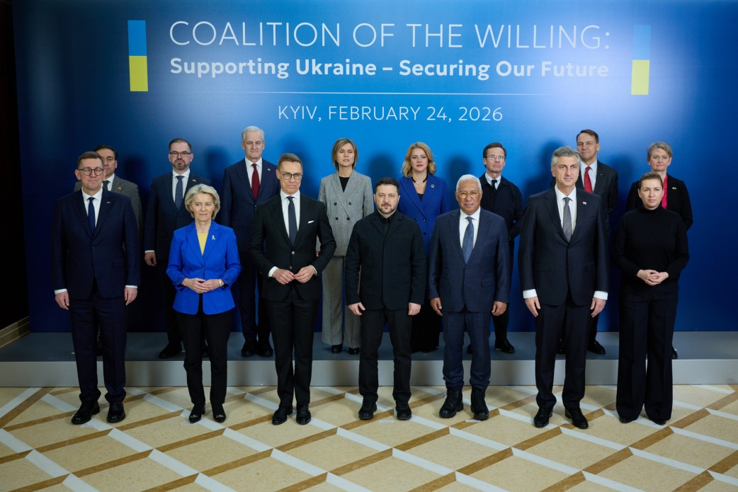
 By Victor Duda
On the hackathon of defense technologies in El Segundo (USA), which took place on February 17-18, a team of engineers with a 3D printer and investment in the amount of $ 500 was able to develop a drone that calculates its GPS coordinates without signal, using an algorithm that compares the comparing algorithm Satellite images with Google Maps with images of his camera. The UAV prototype operates on the same principle as the Raytheon Tomahawk winged rocket system.
After hackathon, engineers founded their own company under the name of Teseus for further testing and commercialization of technology. One of the founders, a software engineer Jan Laffy, said that several Ukrainian agencies were interested in their development, the names of which are trumpeted abbreviations. Jan may have been referring to GUR or SBU, but wished not to clarify it.
As the inventors noted, instead of spending huge money on Tomahawk missiles worth $ 2 million per one, it is better to invest in the development of tens of thousands of cheap drones that will be able to cope with small purposes and large, if they work in swarms. UAV components, including the planet and hinges of the steering surfaces, were printed on a 3D printer in 5 hours and collected in 2 hours. Electronics were purchased in finished form.
GPS navigation algorithms have also been purchased and refined. The team used a local model of comparison of traits to compare the image from the drone camera with satellite images of Google Maps with a resolution of 0. 5 m per pixel, with GPS coordinates. The purpose of engineers is to reach the level of accuracy of navigation similar to the accuracy of GPS quadcopter DJI.
In order for a small drone to recognize its location, it does not need to process a giant satellite images database, then compared repeatedly with the image of the camera. Instead, UAVs can be taught the relationships between certain GPS coordinates and the features of the terrain in which it is used using a deep learning model - the so -called great vision. In this case, the device will get something like an intuitive view of the surface.
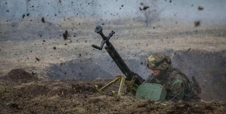
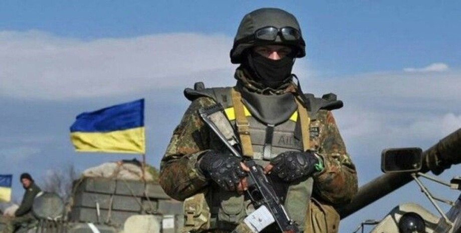
TheSeus noted that the first drone test will take place in a few weeks. They also added that they would try to make a model in the form factor flying wing as cheap, simple in operation and highly effective. We also reported how the "folk" drones intensified the Armed Forces and who can produce them. Thousands of people have already been trained and collected at home drones, which then help to impress the Russian army.


 English
 Українська
 USA
USA Français
 Deutsch
 Italiano
 Polski
 Čeština
 Español
 Slovensku