 By Victor Duda
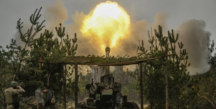
In the satellite photo, you can see the greenery that covers the territory of Ukraine, the Dnieper River River, even a small cloud over Crimea and Krasnodar region of Russia. Analysts noted the dark green strip that stretches in the east and south of Ukraine. The dark strip coincides with the battle line that is currently in this territory.
In addition, Michael Cruickshenk drew attention to the gray elongated stain at the Kakhovka reservoir, which was shaken after the Russian terrorist attack in June 2023. Next to the stain, the fields are green, which is dangerous to harvest because of the fighting that have recently taken place. The war in Ukraine can also be seen on the analytical maps posted on the network.
For example, the occupied territories and a line of fighting are clearly visible to the FIRMS fires created by NASA based on the analysis of space from space. High -temperature points are also clearly visible on the corresponding Saveecobot card. On online maps showing the movement of aircraft and ships, the void around Ukraine is visible-it is applied from the air and sailed with water. We remind that American scientists have explored the satellite photos of Osipovich in Belarus.


 English
 Українська
 USA
USA Français
 Deutsch
 Italiano
 Polski
 Čeština
 Español
 Slovensku