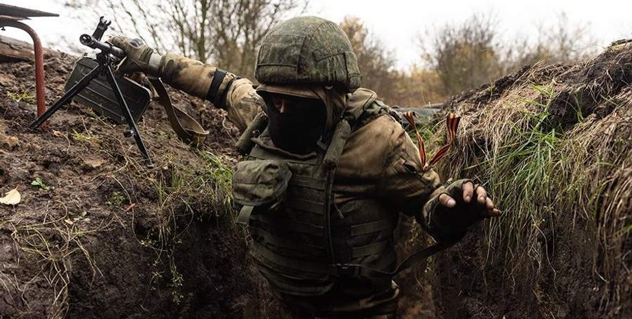
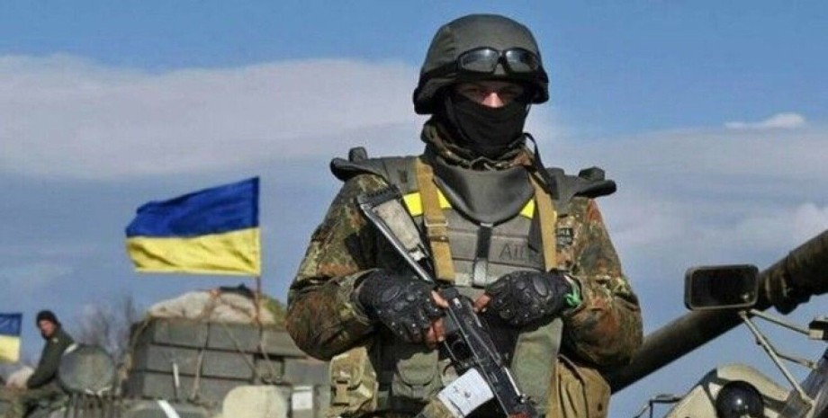
The closest to the collision line-"Kilzon" from 500 m to 6-7-10 km wide (each direction): there is a deadly danger for soldiers, so they hide in burrows and hiding places. Next goes "Gray Zone" up to 20-30 km wide: you can stay here, but there are great risks to hit the UAV, which hunt for the logistics and military equipment of the enemy, is said in the material.
The portal created an infographic showing the structure of the "gray zone" and "kilzones", formed under the influence of drones-FPV diggers and FPV-Kril (UAV of aircraft type). The image is highlighted three strips - by the degree of danger and the capabilities of the means of damage. The 1st zone is located directly on the front line - it is "kilzone" with the rules in which the military and mine barriers are buried. Burns are small branches from trenches that try to hide under shrubs and trees.
In hiding places - one, rarely two, entrances. The number of people who can fit-1-3 people in an area of 2-4 square meters. m. The Ukrainian military is in such shelters, holding positions and beware of drones. Meanwhile, the goal of the Russians is to get into these positions: they are engaged in the assault. In addition, shelters can be cellars, cellars or remains of buildings.
Zone 2 - a strip in which the trenches of the EWS, the starting points of the copter UAVs, can also be mortars, tanks, trailer artillery, installations of the EW. The width of this zone is 12-15 km each side from the front line. Zone 3 - a strip of 20 km or more. At the specified distance, the CAU and the RSZV can work, but it should be remembered about the work of the enemy intelligence drones, which monitor the access roads, that is, by logistics.
The description of the infographics specifies how the "gray zone" is arranged, which, for example, takes place by a settlement or open area. There is a prickly wire "Egoza", thinner "Putanka" wire, fishing networks and strands of fiber, zigzag trenches and trenches, ruins of houses, burned forest plants and fields, undermined military equipment and cars, or motorcycles, residual furniture.
It is indicated that it is impossible to see a specific line of demarcation - there is a "zone of mixed positions and chaos different, and its boundaries are constantly changing. " It turned out that the Armed Forces fighters have to use drones of different types to supply ammunition for machine guns, handmade machine guns and grenade launchers and evacuation of the wounded. Due to the constant threat of drones, sometimes it is necessary to pass 1-7 km from the landing line to positions.
Then there may be problems with rotation, and then heavy copters dismiss 10-20 kg of equipment, and ground robotic complexes take out the wounded. It should be noted that in May, the then commander of the 414th brigade of unmanned systems, Robert Brody spoke about the effectiveness of the unit on the front line. The officer stated that the loss ratio is one to 500.


 English
 Українська
 USA
USA Français
 Deutsch
 Italiano
 Polski
 Čeština
 Español
 Slovensku