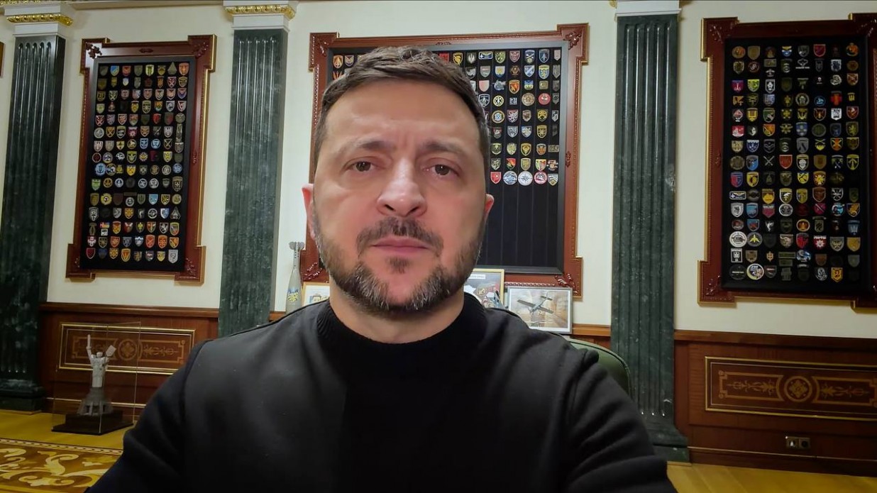
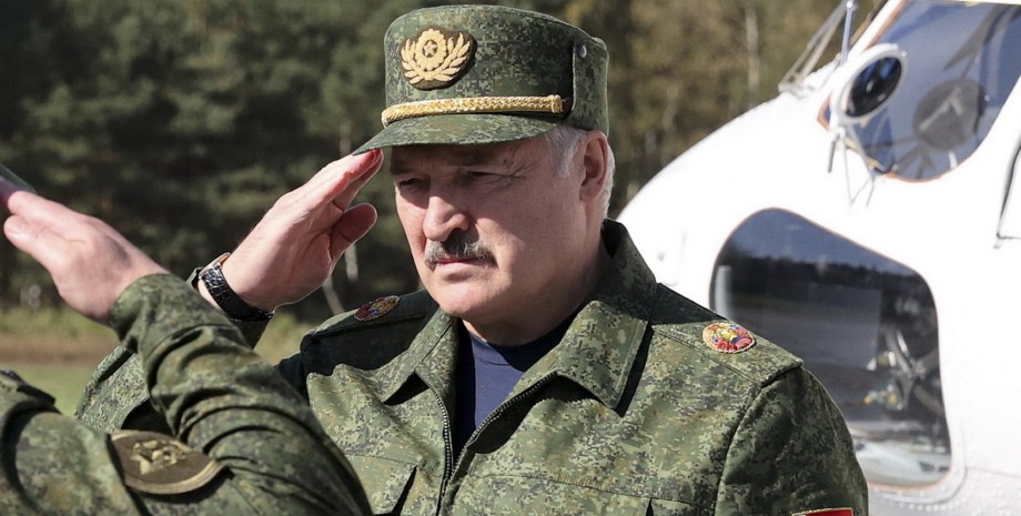
 By Eliza Popova
There are no armed clashes, bombings or drone strikes in the central streets of Pokrovsk, German media columnist Julian Röpke wrote on the social network X (Twitter). In addition, he does not see any signs of a counteroffensive by the Defense Forces on the northern outskirts, the post said. Röpke's message appeared on the afternoon of November 4. The columnist explained that he draws conclusions about the occupation of Pokrovsk based on the geolocation of combat personnel.
All of them are on the northernmost streets. Also, there are no flags being set to speak of any progress. "The Russian invasion forces captured about 85% of Pokrovsk without any signs that the Ukrainian "counteroffensive" in the north of the city would change the situation on the ground," the columnist wrote. On Ryopke's map, we can see that Pokrovsk's map is almost completely filled with color, which means that it is under the control of the Armed Forces of the Russian Federation.
There is a narrow section in the central district, and several streets with private buildings, free of Russians. According to the observer's assumptions, there are battles for control over the northern regions of the settlement. Meanwhile, on the afternoon of November 4, analysts of the DeepState project updated the map of hostilities in the east. Before the upgrade, there were streets in Pokrovsk south of the T0504 highway that did not yet fall into the "gray zone".
After the upgrade, Russians were spotted in almost all areas of the city: south and north of the highway and railway. There are only small areas on the northern outskirts in which the fighters of the Armed Forces of Ukraine operate: in the area of Svoboda and Koshovoy streets, from, tentatively, Poltavskyi Lane to the Service Center of the Ministry of Internal Affairs 1444. In addition, on November 4, new red zones appeared - in the west of Pokrovsk and south of Myrnograd (in Moskovskoye).
The map shows that the area completely occupied by the Russians is 3. 58 square meters. km, and the "gray zone" — about 13. 64 square meters. km According to analysts, the area occupied or controlled by the Armed Forces of the Russian Federation is about 17. 2 square meters. km, which is 78% of the entire city area of 22 square meters. km (on the map). Inconsistency with Röpke's data is 7%, and at the same time he considers the "gray zone" to be completely controlled by the Russians.
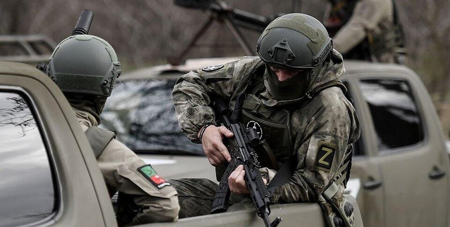
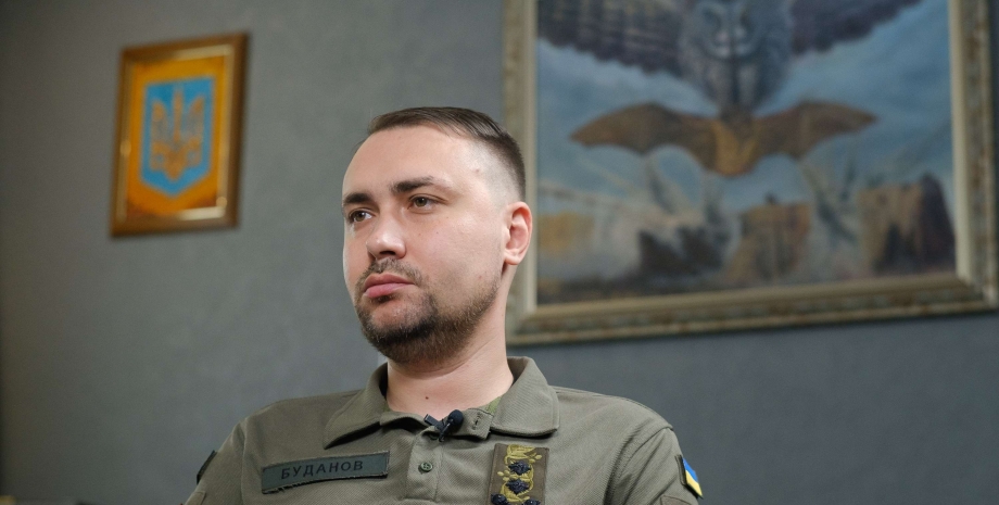
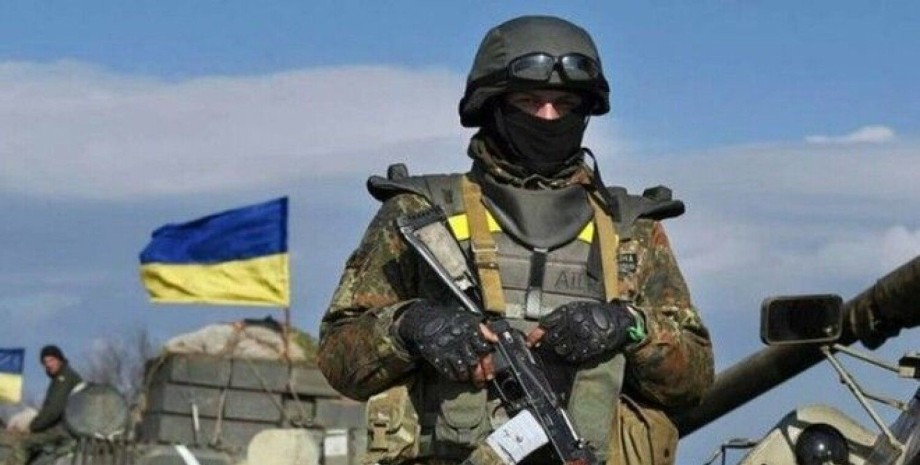
It should be noted that on the morning of November 4, the GUR of the Ministry of Defense published footage of the landing of special forces in Pokrovsk. Timur's squad disembarked from a helicopter on the western outskirts of the city near the stele on which the Russians had hoisted their flag a few days earlier. OSINTers established that the fighting took place in the area of the Elektrodvigun plant (48. 29378701105972, 37. 1288973131775) and the Dmitrivsk Geological Exploration Department (48.


 English
 Українська
 USA
USA Français
 Deutsch
 Italiano
 Polski
 Čeština
 Español
 Slovensku